
- Home
- Francesco Paladini
Francesco Paladini
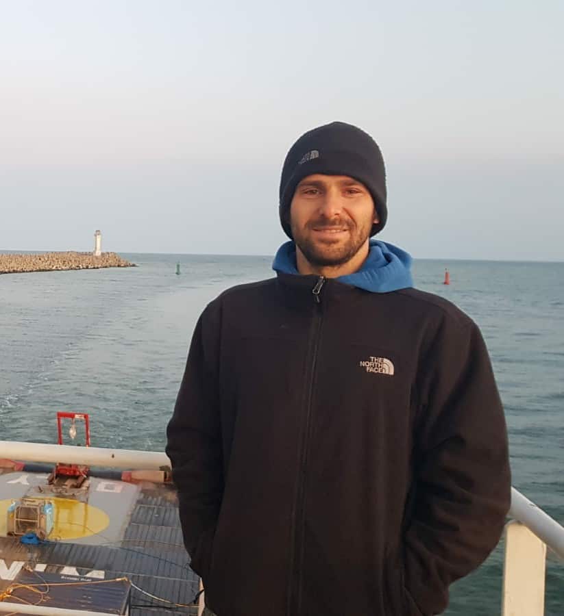
GIS Expert
Francesco Paladini
Born in 1985 in Rome, after having obtained a degree in Environmental Sciences and PhD in Nature Conservation and Management of Biological Resources, he is currently a research fellow at CNR-ISMAR, and a consultant within the Sea Marvel project. Within the project, he takes care of the database setting, providing data analysis and GIS support.
He is a researcher and technician in the maritime field with experience in environmental, oceanographic and geophysical surveys. His education was consolidated through academic studies, courses and field work.
He obtained a Bachelor’s degree in Natural Sciences specialising in marine ecosystems with an experimental thesis on the stratigraphy of an area of the continental shelf of the Southern Tyrrhenian Sea.
He subsequently obtained a Master’s degree in Nature Conservation, marine environments, with an experimental thesis on the coastal dynamics of a sector of Southern Latium. Afterwards, he obtained a PhD in Ecology and Management of Biological Resources about the analysis of sedimentary processes in Posidonia oceanica meadows.
Between 2013 and 2018 he carried out research activities within the Laboratory of Experimental Oceanology and Marine Ecology of the University of Tuscia working on projects devoted to monitoring seabed movements and construction of port infrastructures such as the expansion of the Port of Civitavecchia and Gaeta. Since 2018 he has been working as a freelance surveyor and survey engineer in geophysical and environmental surveys related to the construction of electrical, fibre optic and oil & gas connections. He also acquired experience in GIS for the cartographic rendering of surveys. During his academic activity, he published several papers in international journals and conferences. Since 2021 he was granted a post-doc research grant at CNR-ISMAR in Venice, where he continued his scientific research activities in the field of oceanography and is a consultant within the SeaMarvel Project for database setting, and support for data analysis and GIS.